How Deep Does GPR Really Go? Idaho Contractors' Reality Check
How deep can GPR see? The answer depends on soil conditions, antenna frequency, and target size. Idaho contractors need to know the real limits.
How Deep Can Ground Penetrating Radar Really See?
GPR depth depends on your soil, your antenna, and your target - not the equipment's price tag. In average conditions, utility-locating GPR reaches 3 to 6 feet. In Idaho's clay-heavy soils, formed from Ancestral Rocky Mountain erosion, that number drops fast.
Here's the honest contractor reality: dry sandy soil lets radar signals travel deep, while clay absorbs and scatters them. Much of southern Idaho sits on clay-rich ground. That changes everything about what GPR can reliably find.
Depth isn't one number. It shifts based on three things - soil type, antenna frequency, and target size. A large concrete pipe reads differently than a 1-inch conduit at the same depth.
Get that wrong on a dig, and you're part of a serious problem. The Common Ground Alliance documents 1,100 utility strikes every single day across the country.
Idaho contractors need real expectations before the blade hits the ground.
The Three Factors That Control GPR Penetration Depth
Depth is not a setting you dial in. It's the result of three variables working against each other - and in Idaho, at least one of them is usually working against you.
Soil conductivity comes first.
High-conductivity soils absorb radar energy before it returns a usable signal. Clay is the main offender. Intersect Surveys confirms that dry sandy soils allow deep signal travel, while clay soils severely restrict it. Much of Idaho's subsurface - particularly across the Snake River Plain and lower-elevation valleys - carries clay-rich deposits left by Ancestral Rocky Mountain erosion. That geology cuts practical depth faster than most contractors expect.
Antenna frequency is the second lever.
Low-frequency antennas (400 MHz and below) push deeper but sacrifice resolution. High-frequency antennas (1,000 MHz and above) produce sharp, detailed images - but only down to a few feet. There is no antenna that does both. You pick the trade-off based on target depth. Get the frequency wrong and you either miss a shallow utility or image nothing useful at all.
Target size closes the triangle.
A 12-inch concrete pipe returns a strong reflection. A 1-inch conduit at the same depth may not register at all - not because the GPR failed, but because physics demands a minimum reflective surface area. Small targets in conductive soil with a mismatched antenna disappear entirely.
The combined result: Enhanced Scanning puts typical utility-locating GPR in average soils at 3 - 6 feet of reliable penetration. Idaho's clay-heavy zones shrink that window further.
Georadar Detection identifies all three factors - soil type, antenna frequency, and target size - as the primary depth determinants. Knowing this matters because the Common Ground Alliance documents 1,100 utility strikes daily across the country. Most of those strikes happen when someone assumed depth rather than measured it.
The triangle is not a problem to solve. It's a constraint to work within - deliberately.
Why Idaho Soils Challenge Ground Penetrating Radar
Idaho's geology is working against you before the scan even starts.
The Treasure Valley, the Snake River Plain, and the foothills east of Boise share a common inheritance: millennia of erosion from the ancestral Rocky Mountains deposited fine-grained, clay-rich sediments across much of the state. That geology looks unremarkable from the surface. Underground, it's a radar trap.
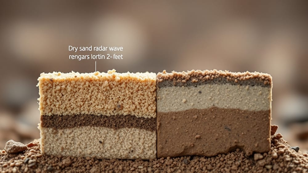
GPR works by sending a pulse of electromagnetic energy into the ground and timing the reflection. Clay does two damaging things to that pulse. First, it absorbs signal energy faster than almost any other soil type. Second, clay holds moisture - and water dramatically increases a soil's electrical conductivity, which kills penetration depth even further. Intersect Surveys confirms that dry sandy soils allow deep signal travel while clay soils severely limit how far a radar pulse can go.
The practical result: depths that textbooks describe as achievable in the field often aren't achievable in Idaho.
Under average mixed soils, utility-locating GPR typically penetrates 3 to 6 feet. In a wet clay profile - which is exactly what you encounter after spring snowmelt in much of the Boise metro or the Palouse region - that range can collapse to 18 inches or less. A gas main buried at 4 feet can become effectively invisible.
Soil type is one of three primary depth determinants. The other two are antenna frequency and target size. Georadar Detection identifies all three as the core variables that control what GPR can and cannot find. The interaction between them matters: a high-frequency antenna gives you fine resolution but penetrates shallow. A low-frequency antenna pushes deeper but loses the ability to resolve small targets like 3/4-inch conduit. In clay-rich Idaho soils, you're already fighting the depth battle - choosing the wrong frequency makes it worse.
Season compounds the problem. Idaho's climate swings between dry summers and wet springs. A scan run in August on a south-facing Boise slope, after weeks without rain, will outperform the same scan on the same site in April by a meaningful margin. Contractors who quote depth capabilities without accounting for seasonal soil moisture are giving you a best-case number in a worst-case state.
There's a cost dimension here too. Equipment capable of adapting to difficult soil conditions - units with selectable antenna frequency, real-time soil calibration, and multi-channel arrays - sits at the higher end of the GPR equipment range, which runs from $14,000 to $100,000. A contractor showing up with a single low-end unit and one fixed antenna has already limited what the scan can tell you, regardless of operator skill.
The stakes aren't abstract. The Common Ground Alliance documents roughly 1,100 utility strikes per day across the country. A missed utility in clay soil isn't a GPR failure - it's a foreseeable outcome of using the wrong tool, or the right tool with the wrong expectations.
Idaho contractors who understand local soil conditions don't just quote depth. They quote depth with conditions attached.
Addressing the most common contractor question about real-world GPR depth
— Georadar Detection (industry analysis)
When GPR Finds Pipes, Cables, and Utilities Accurately
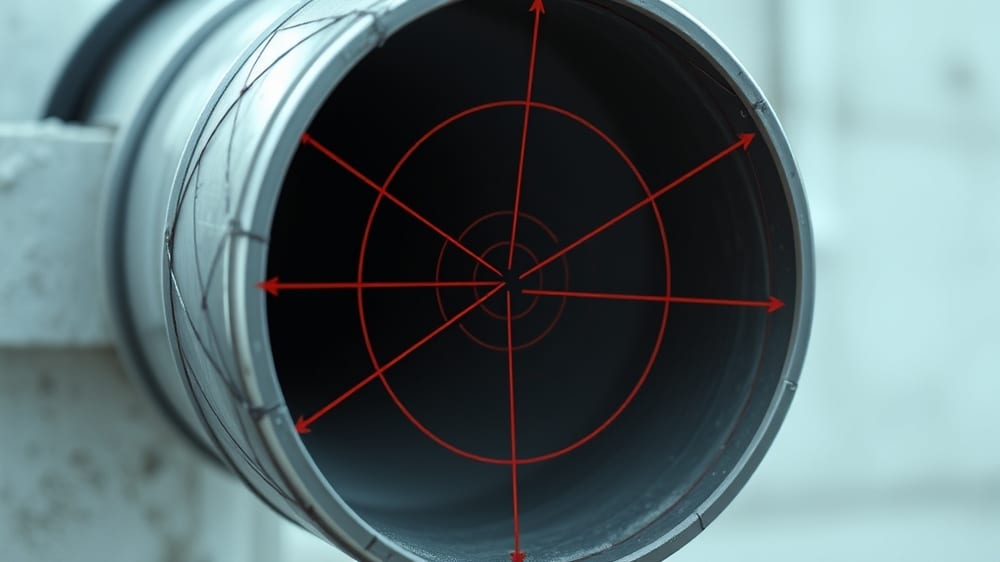
GPR is not a magic wand. It is a reflection tool - and what it reflects depends entirely on what you buried and what surrounds it.
Large metallic targets are the easiest wins. Steel gas mains, copper water lines, and armored electrical conduit bounce radar energy back cleanly. A technician running a 400 MHz antenna across a gravel shoulder in southern Idaho can resolve a 6-inch steel pipe with high confidence. The contrast between metal and surrounding soil is simply too sharp to miss.
Non-metallic targets are where things get honest.
Small plastic pipes - PVC pressure lines, corrugated drain tubes, 1-inch irrigation laterals - present almost no dielectric contrast in saturated or clay-heavy ground. Idaho's soils carry a specific handicap here. Much of the state's terrain features clay-rich deposits left by Ancestral Rocky Mountain erosion, and clay conducts electrical energy. That conductivity absorbs the radar pulse before it can reach a shallow plastic pipe and return a readable signal.
The Common Ground Alliance documents roughly 1,100 utility strikes per day across the country. Many of those happen not because GPR wasn't used, but because operators trusted it in conditions where it couldn't perform.
Dry, sandy soils tell a different story. Signal penetration increases sharply in low-conductivity environments, and utilities of almost any material become detectable. Sandy stretches along the Snake River Plain give Idaho contractors some of the better GPR conditions in the region.
In average mixed soils - the kind covering most Idaho job sites - utility-locating GPR typically reads 3 to 6 feet of depth. A 4-inch concrete conduit at 5 feet in loamy soil is a reasonable target. A 1-inch poly line at 4 feet in irrigated farm ground is not.
Three variables decide accuracy every time: antenna frequency, soil type, and target size. Knowing which two of those three are working against you before the scan starts is what separates a useful report from a false sense of clearance.
The Skill Gap: Why DIY GPR Equipment Often Fails
Renting a GPR unit is easy. Reading what it shows you is not.
A rental unit runs roughly $400 a month - a fraction of the $14,000 to $100,000 a professional-grade system costs. That price gap exists for a reason. Professional equipment includes calibration tools, multiple antenna frequencies, and software that helps trained operators interpret the data. A rental unit gives you a screen full of hyperbolas and color gradients. Without training, that screen tells you almost nothing useful.
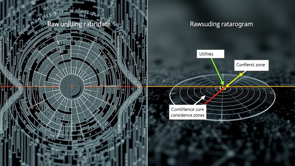
The output from a GPR scan is called a radargram. It does not show pipes and wires. It shows reflected signal energy - arcs, bands, and anomalies that a trained technician learns to decode over hundreds of hours of fieldwork. A tree root and a gas line can look nearly identical to an untrained eye.
Idaho's soil conditions make this worse. Much of the state carries clay-rich soil from Ancestral Rocky Mountain erosion, and clay severely limits GPR signal travel. In those conditions, a low-frequency antenna that should reach 6 feet may only return clean data from the top 2 feet. An untrained operator may not recognize the signal is degraded - and may mark "all clear" on ground that hasn't actually been scanned.
Antenna frequency selection alone requires field judgment. High-frequency antennas give sharper resolution but shallower penetration. Low-frequency antennas go deeper but miss small targets. Choosing wrong means missing the very utility you're scanning for.
The Common Ground Alliance documents 1,100 utility strikes per day across the US. Many of those strikes happen on sites where someone believed subsurface detection had been completed. Renting the equipment checks a box. Understanding the data is what actually protects your crew.
The tool is not the skill.
Hire a Professional GPR Locator Before You Excavate in Idaho
The Common Ground Alliance documents 1,100 utility strikes every single day across the country. One strike can shut down your project, trigger liability claims, and put workers in serious danger. The math on prevention is simple.
Professional GPR equipment runs between $14,000 and $100,000 - but you are not buying the equipment. You are buying the interpretation. A trained locator reads the radargram, adjusts antenna frequency for Idaho's clay-rich soils, and tells you where not to dig.
That skill gap is the whole point.
Idaho's geology - clay deposits left by Ancestral Rocky Mountain erosion - compresses usable GPR depth and scatters signals in ways that fool untrained eyes. A contractor who rents a unit without that experience is guessing, not locating.
Book the survey before the excavator shows up. The cost of a professional GPR scan is a rounding error compared to a single utility strike.